
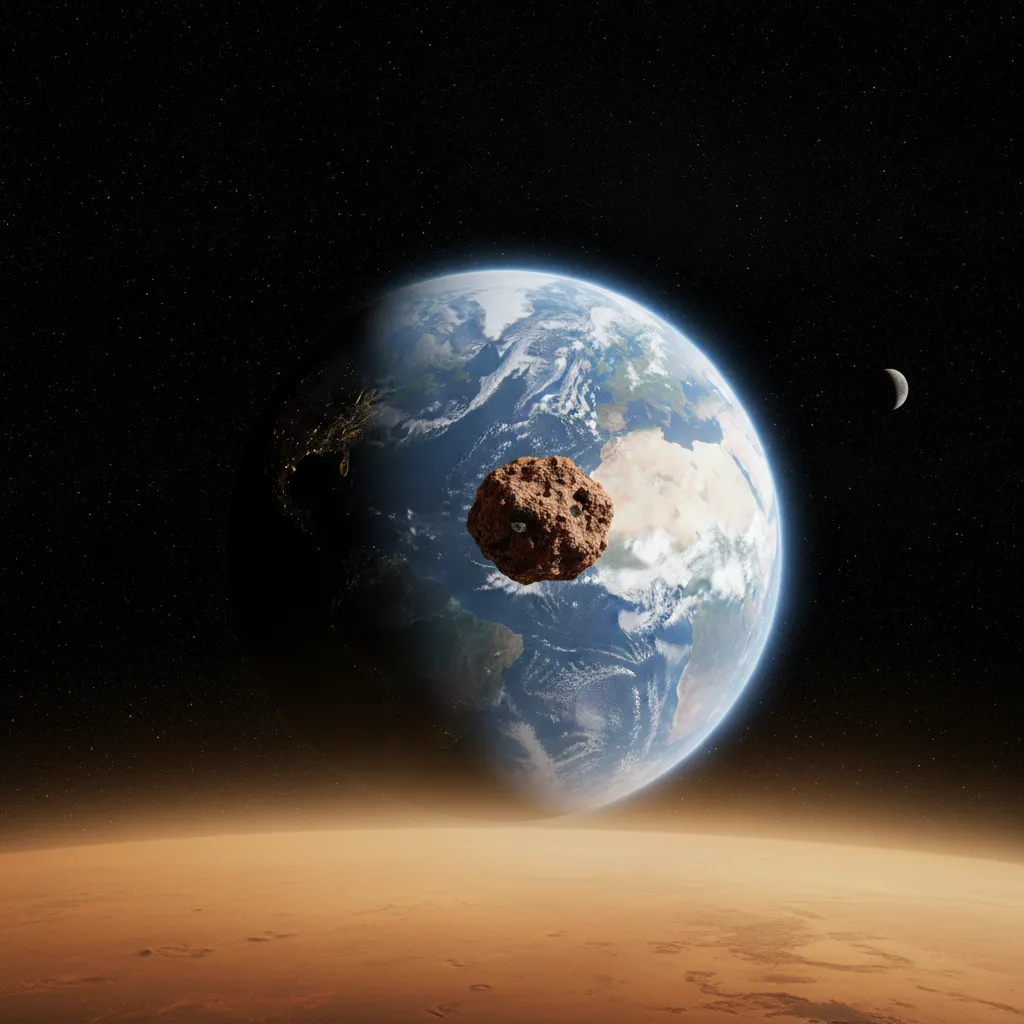
The detective work of planetary science often involves studying fragments ejected from other worlds to trace back their original provenance. A recent global map published by the US space agency has shed new light on the geological origin of Teghaza 001, one of the most ancient Martian meteorites ever discovered on Earth. Utilizing topographic data combined with spectroscopic observations, researchers have managed to narrow down the search to thirteen specific locations that share geochemical and mineralogical characteristics with this unique rock.
The mineralogical footprint of the highlands
Although absolute certainty regarding the exact point of ejection is nearly impossible to achieve in planetary meteoritics, the detailed analysis offers highly valuable clues. The thirteen locations highlighted on the map are concentrated in the ancient highlands of the red planet's southern hemisphere. To build the base cartography, scientists relied on altimetric data gathered by the Mars Orbiter Laser Altimeter instrument aboard the historic Mars Global Surveyor mission. Subsequently, information collected by the Mars Reconnaissance Orbiter allowed researchers to refine the identification of those specific regions presenting an identical mineral signature to the Teghaza 001 meteorite, thereby marking a new milestone in the correlation between terrestrial samples and their original geological context within the interplanetary architecture.
High-resolution spectroscopy and the impact challenge
To understand the magnitude of the event that propelled Teghaza 001 out of Mars' gravity well, it is necessary to analyze the dynamics of hypervelocity impacts on the basaltic crust. When an asteroid collides with the surface, the shock wave partially melts and metamorphoses the rock, generating the characteristic impact glass inclusions that mineralogists study under electron microscopes in terrestrial laboratories. The difficulty lies in the fact that current spectral maps average composition over surfaces of several tens of square meters, a resolution that often masks local mineralogical heterogeneity. Despite these technical limitations, the model developed by the research team represents a quantum leap in tracking methodology, making it possible to rule out vast sterile expanses of the Martian terrain and focus the analytical spotlight on specific craters where wind erosion has exposed the planet's most ancient stratigraphic layers.
Related
Missions
Marspedia terms
Enjoyed it? Keep exploring
Back to all news